

246
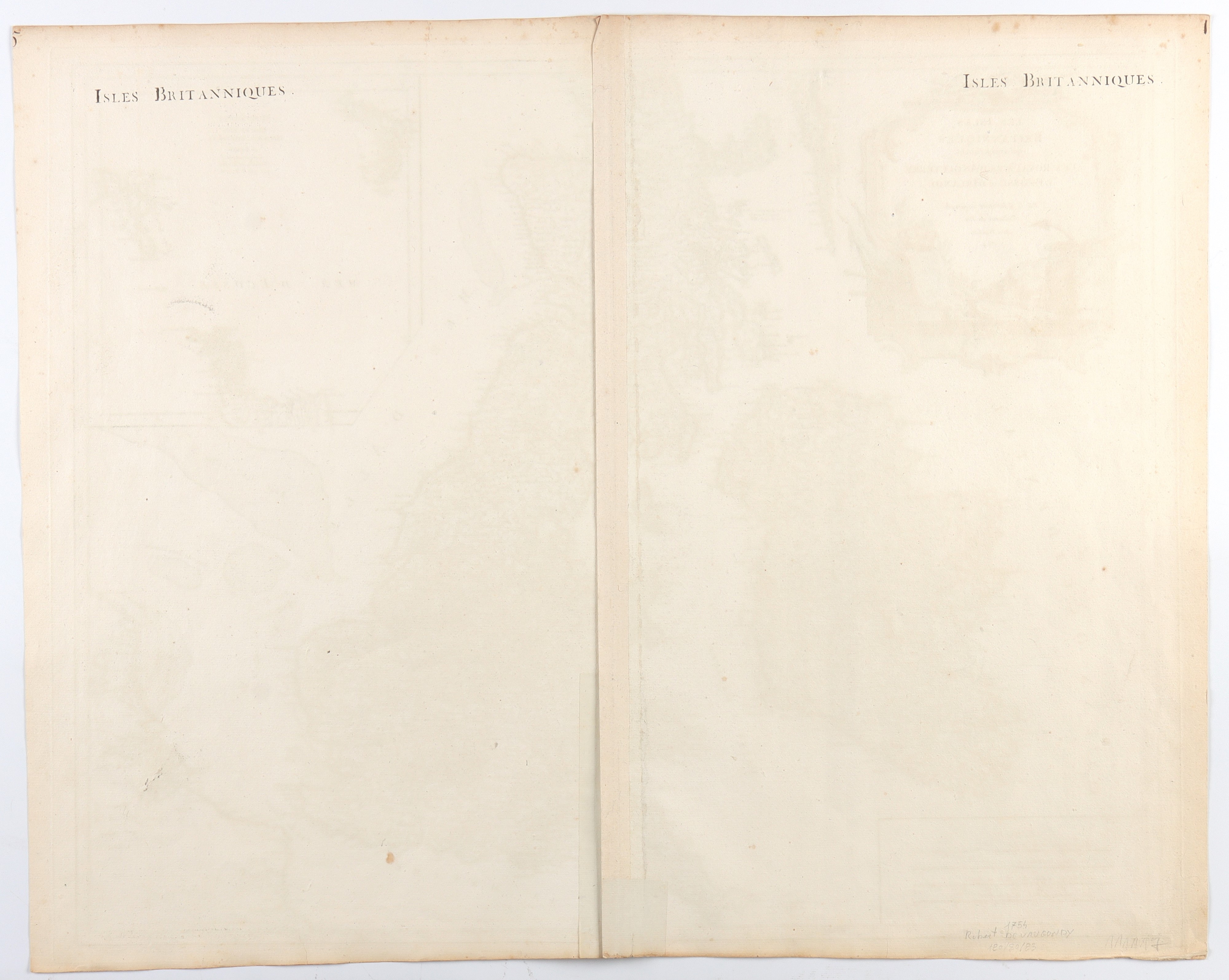
Les Isles Britanniques : qui comprennent les Royaumes d'Angleterre, d'Ecosse et d'Irlande, 1754
graver, 512 x 660 mm.
Map of the British Isles printed on two joined sheets of laid paper, each with watermark. Usual editorial twist. Overall in excellent condition except for a short tear on the lower margin and browning of the edges. Colored by hand.
€ 200,00 / 300,00
Estimate
€ 120,00
Starting price
Unsold
Live auction 294
Drawings, Prints and Geographical Maps from the 16th to the 19th Century
Palazzo Caetani Lovatelli, fri 19 April 2024
SINGLE SESSION 19/04/2024 Hours 15:00