
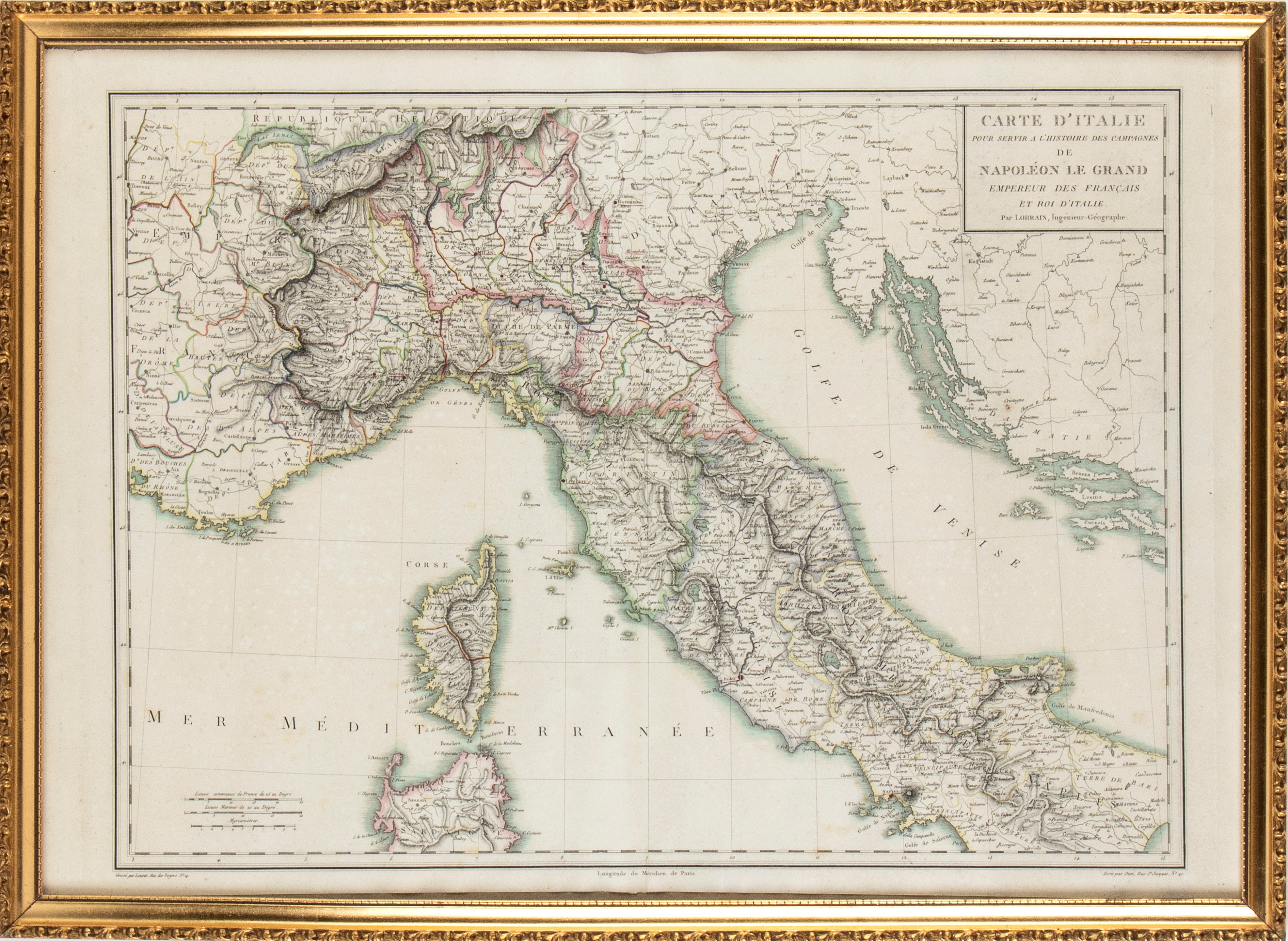
231
Maps of Italy to serve the history of the campaigns of Napoléon the Grand... in Lorrain, 1805
Detailed map of northern and central Italy. Etching and burin, approx. 495 x 690 mm.
Beautiful impression with hand colouring. In excellent condition except for editorial folds and light oxidation. The print has not been examined outside the frame (54 x 74 x 3 cm).
Live auction 294
Drawings, Prints and Geographical Maps from the 16th to the 19th Century
Palazzo Caetani Lovatelli, fri 19 April 2024
SINGLE SESSION 19/04/2024 Hours 15:00