528


        Jacques-Nicolas Bellin (1703 - 1772)
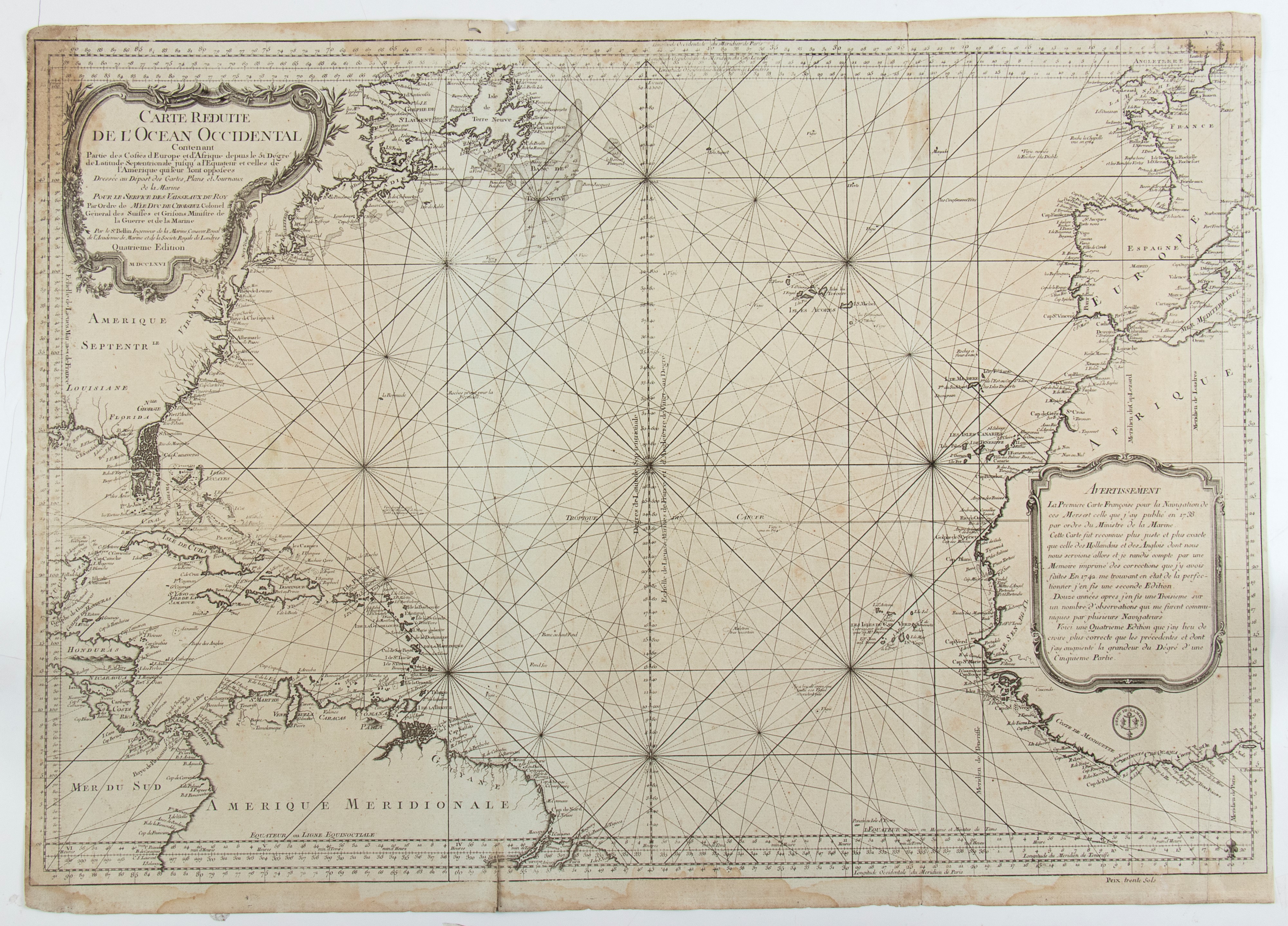
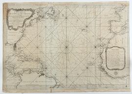
        Carte Reduite de L'Ocean-Occidental Comprenant les Cotes d'Europe et d'Afrique, depuis le 51 degre de Latitude Nord Jusqu'a l'Equateur et les Cotes, 1766
Nautical map of the Atlantic Ocean, north of the equator, with the coast of North America, Florida and the coasts of Europe and Africa.
 Engraving and etching, approx. 630 x 875 mm. Uniformly browned paper, with two usual editorial folds, some stains and wear.
 Provenance: Vecchia Marina, Rome.
                                            	
                                                
                                                    Live auction   316   


                                    Old and Modern Prints, Drawings and Maps
													Palazzo Caetani Lovatelli, thu 14  November 2024


                                                     SINGLE SESSION 14/11/2024 Hours 12:00


						