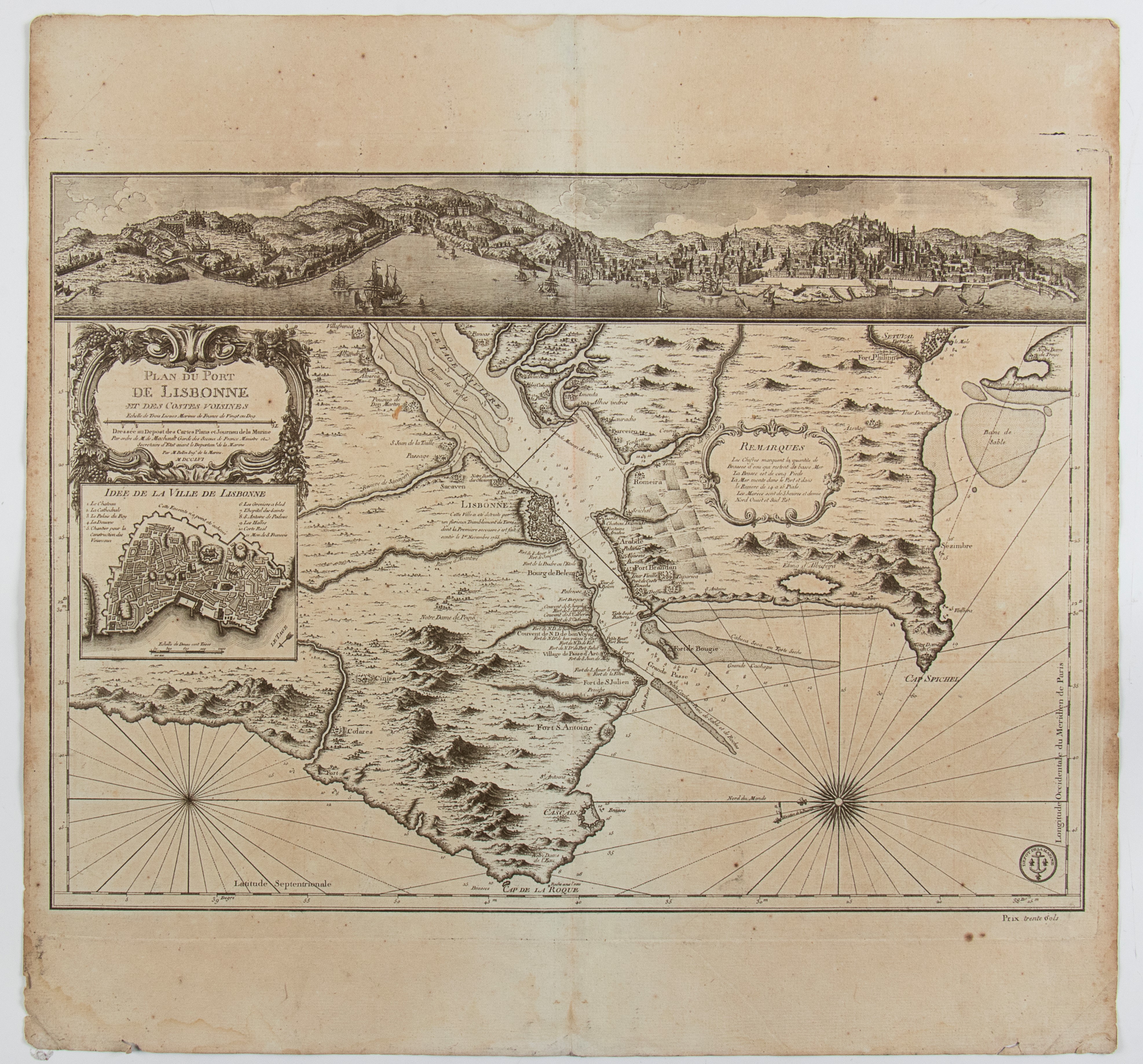

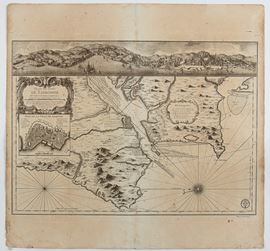

523
Plan du Port de Lisbonne et des Costes voisines, Paris 1756
Map of the port of Lisbon and the surrounding coast, with a view of the city on the Tagus River in the upper part.
Engraving and etching, 630 x 665 mm. Printed on heavy laid paper, with the usual editorial fold, preserved margins, uniformly browned paper and with signs of staining.
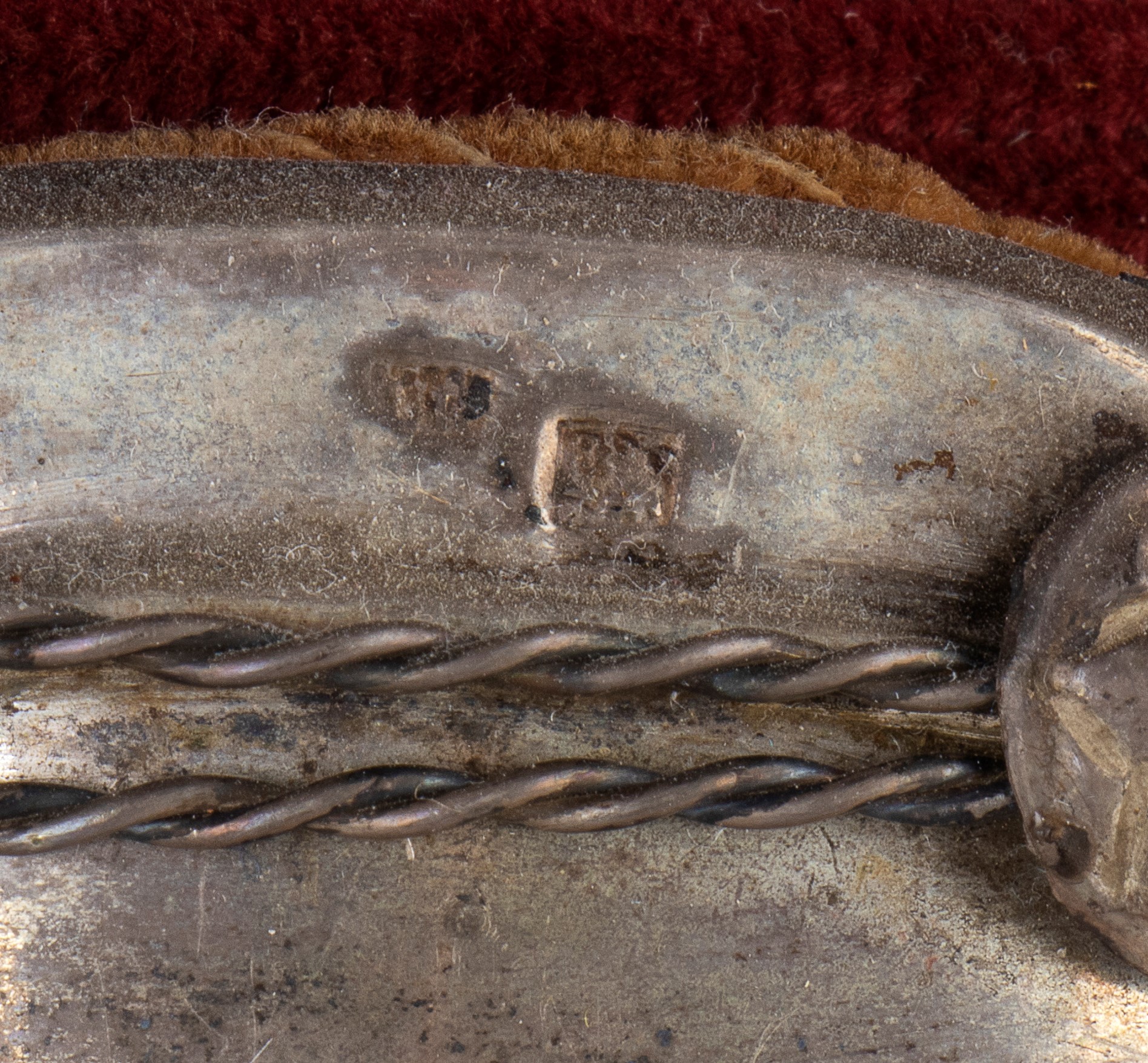
Provenance: Vecchia Marina Naval Antiques, Rome
Live auction 316
Old and Modern Prints, Drawings and Maps
Palazzo Caetani Lovatelli, thu 14 November 2024
SINGLE SESSION 14/11/2024 Hours 12:00