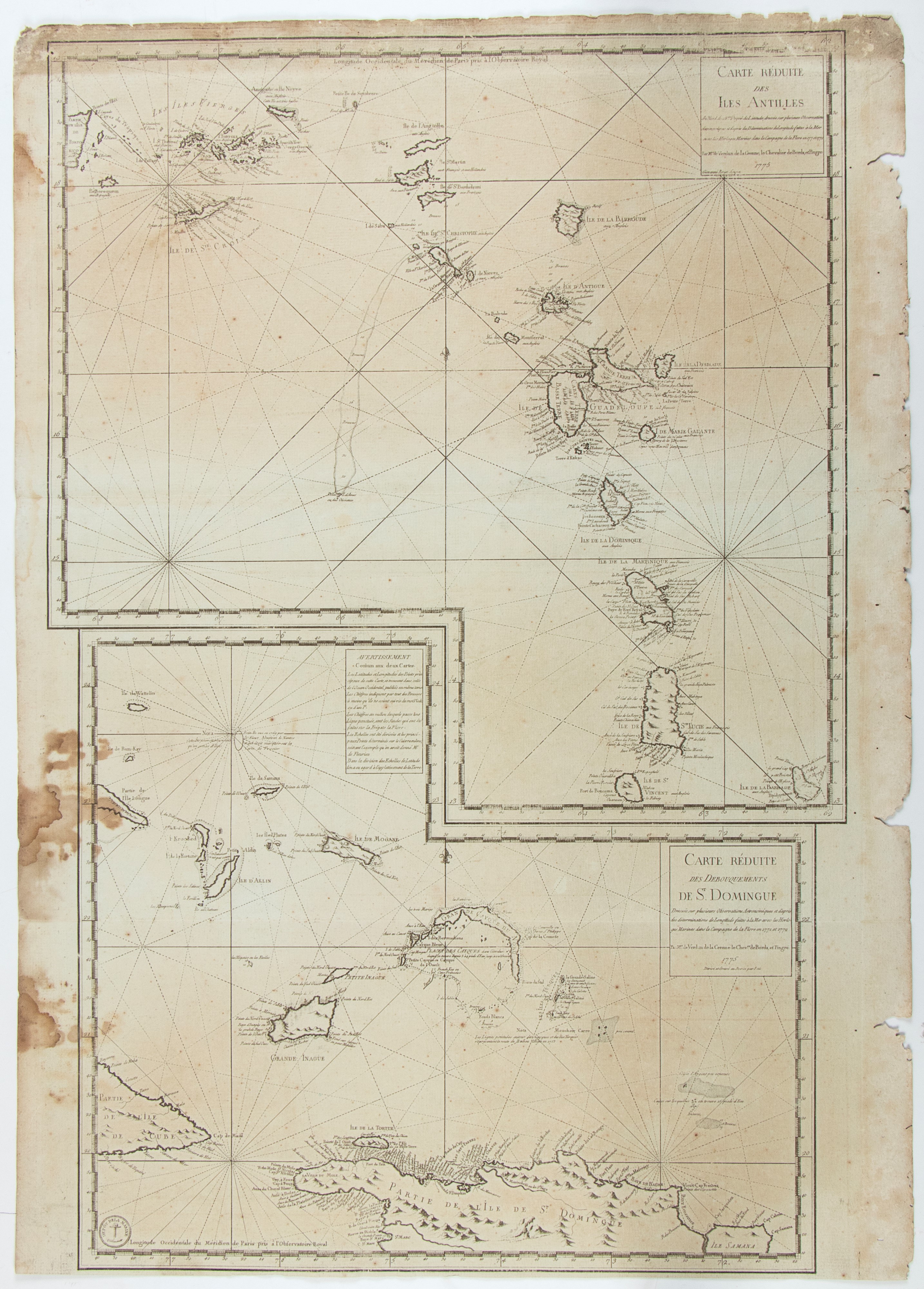
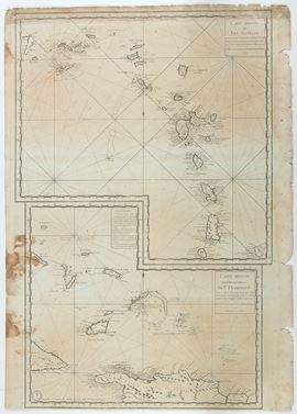

532
Carte Reduite des Isles Antilles | Carte Reduite des Debouquements de St Domingue, Paris 1775
Double map: the first of the Windward Islands from Puerto Rico to Barbados, the second showing the Turks and Caicos Islands and the Southern Islands of the Bahamas.
Etching and engraving, 890 x 630 mm. Printed on heavy laid paper, with evenly browned paper, some stains, wear and losses along the right edge.
Provenance: Vecchia Marina, Rome.
Live auction 316
Old and Modern Prints, Drawings and Maps
Palazzo Caetani Lovatelli, thu 14 November 2024
SINGLE SESSION 14/11/2024 Hours 12:00