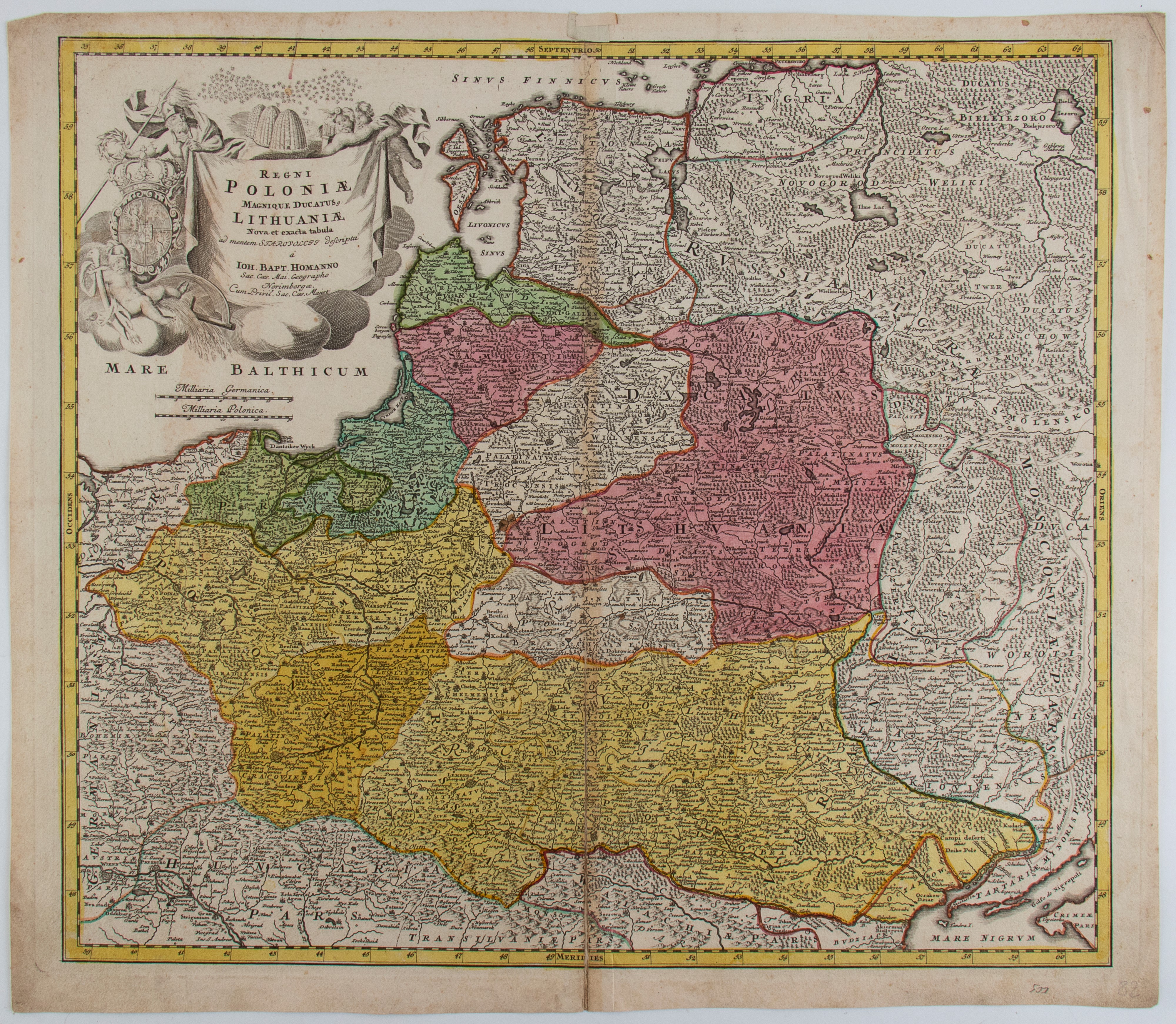
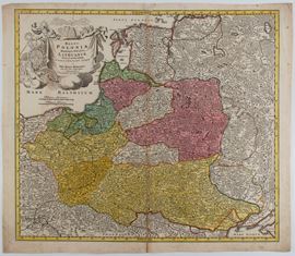
485
Regni Poloniae Magnique Ducatus Lithuaniae Nova et Exacta Tabula , Nuremberg, 1729
Etching and engraving, 520 x 600 mm. Map of Poland and the Grand Duchy of Lithuania, extending from the Baltic Sea to the Black Sea.
Very nice impression with splendid contemporary coloring, printed on laid paper. Sheet in excellent condition, except for slight wear along the usual editorial fold and uniform browning of the paper.
Live auction 316
Old and Modern Prints, Drawings and Maps
Palazzo Caetani Lovatelli, thu 14 November 2024
SINGLE SESSION 14/11/2024 Hours 12:00