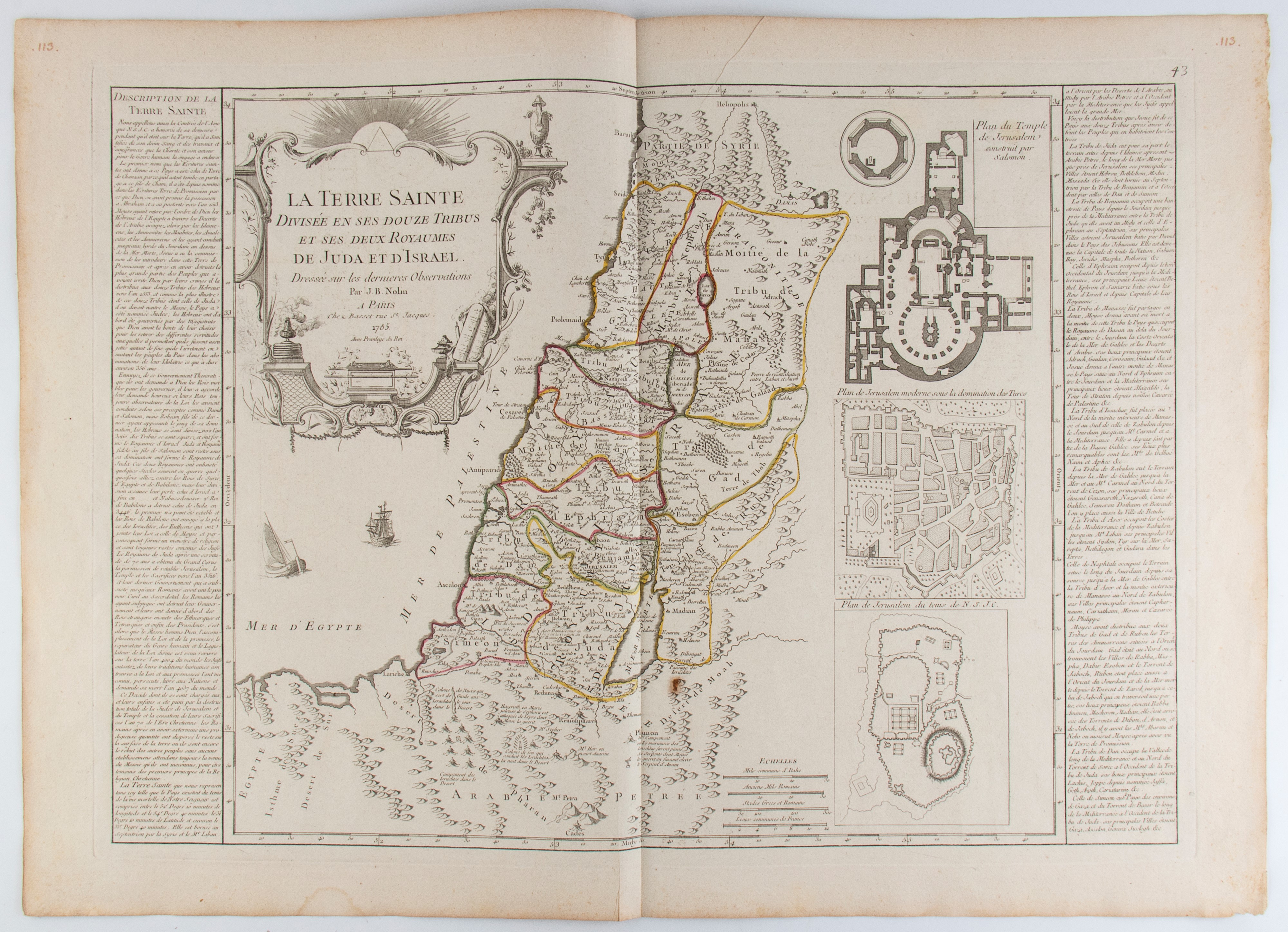
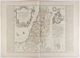
499
La Terre Sainte divisée en ses douze tribus et ses deux royaumes de Juda et d'Israël, 1785
Etching and engraving, 553 x 768 mm. Historical map of the Holy Land, corresponding to the current territories of Israel, Palestine and Jordan.
Very nice impression on laid paper with double watermark. Sheet with usual editorial fold, in very good condition, except for browning, a stain on the lower margin and a small stain in the center. Wide margins.
€ 200,00 / 400,00
Estimate
€ 100,00
Starting price
Unsold
Live auction 316
Old and Modern Prints, Drawings and Maps
Palazzo Caetani Lovatelli, thu 14 November 2024
SINGLE SESSION 14/11/2024 Hours 12:00