349
Time auction
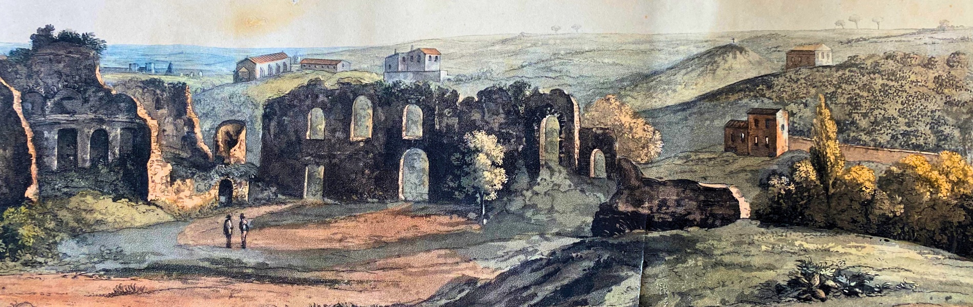
PRINTS, DRAWINGS AND MAPS
fri 13 June - tue 15 July 2025
ONLINE until Tuesday, 15 July 2025
Buyer's Premium 25%
For information:
n.bukowska@bertolamifineart.com