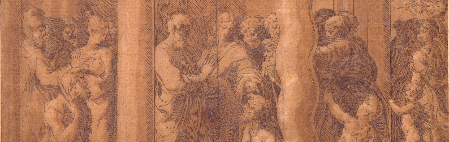
241
Giovambattista Albrizzi
(1698 - 1777)
Carta Geografica del Governo Della Normandia
Venice 1740
Engraving, 375 x 482 mm. Map of Normandy based on De L'Ise's map. Fresh impression on thin laid paper with watermark. [..]
241
Giovambattista Albrizzi
(1698 - 1777)
Carta Geografica del Governo Della Normandia
Venice 1740
Engraving, 375 x 482 mm. Map of Normandy based on De L'Ise's map. Fresh impression on thin laid paper with watermark. [..]
242
Frederick de Wit
(1630 - 1706)
Comitatus Namurci Tabula in Lucem edited by Frederico de Wit
Engraving and etching, 51.5 x 59.5 cm. Map of Belgium. Fine, fresh impression on two sheets of laid paper with [..]
242
Frederick de Wit
(1630 - 1706)
Comitatus Namurci Tabula in Lucem edited by Frederico de Wit
Engraving and etching, 51.5 x 59.5 cm. Map of Belgium. Fine, fresh impression on two sheets of laid paper with [..]
243
Vincenzo Maria Coronelli
(1650 - 1718)
Parte Meridionale del Regno D'Inghilterra (Southern part of the Kingdom of England)
Engraving and etching, 48.5 x 88 cm. Taken from the Isolario dell'Atlante Veneto. Fine, fresh and sharp impression [..]
243
Vincenzo Maria Coronelli
(1650 - 1718)
Parte Meridionale del Regno D'Inghilterra (Southern part of the Kingdom of England)
Engraving and etching, 48.5 x 88 cm. Taken from the Isolario dell'Atlante Veneto. Fine, fresh and sharp impression [..]
244
Matthaus Seutter
(1678 - 1757)
Britanniae Sive Angliae Regnum
Engraving and etching, 67 x 56 cm. Fine proof on laid paper, in very good condition. Usual central fold on [..]
244
Matthaus Seutter
(1678 - 1757)
Britanniae Sive Angliae Regnum
Engraving and etching, 67 x 56 cm. Fine proof on laid paper, in very good condition. Usual central fold on [..]
245
Gerardus Mercator
(1512 - 1594)
Anglia Regnum
Engraving, 444 x 558 mm (sheet). Map of England taken from "Atlas Major" by Mercator. Printed on laid paper. [..]
245
Gerardus Mercator
(1512 - 1594)
Anglia Regnum
Engraving, 444 x 558 mm (sheet). Map of England taken from "Atlas Major" by Mercator. Printed on laid paper. [..]
246
Robert de Vaugondy
(1688 - 1766)
Les Isles Britanniques : qui comprennent les Royaumes d'Angleterre, d'Ecosse et d'Irlande
1754
graver, 512 x 660 mm. Map of the British Isles printed on two joined sheets of laid paper, each with watermark. [..]
246
Robert de Vaugondy
(1688 - 1766)
Les Isles Britanniques : qui comprennent les Royaumes d'Angleterre, d'Ecosse et d'Irlande
1754
graver, 512 x 660 mm. Map of the British Isles printed on two joined sheets of laid paper, each with watermark. [..]
247
Eredi Johann Baptist Homann
Regnorum Magnae Britanniae et Hiberniae Mappa Geographica...
1749
Etching, 537 x 644 mm. Map of Great Britain with part of the Netherlands print on laid paper. Usual editorial [..]
247
Eredi Johann Baptist Homann
Regnorum Magnae Britanniae et Hiberniae Mappa Geographica...
1749
Etching, 537 x 644 mm. Map of Great Britain with part of the Netherlands print on laid paper. Usual editorial [..]