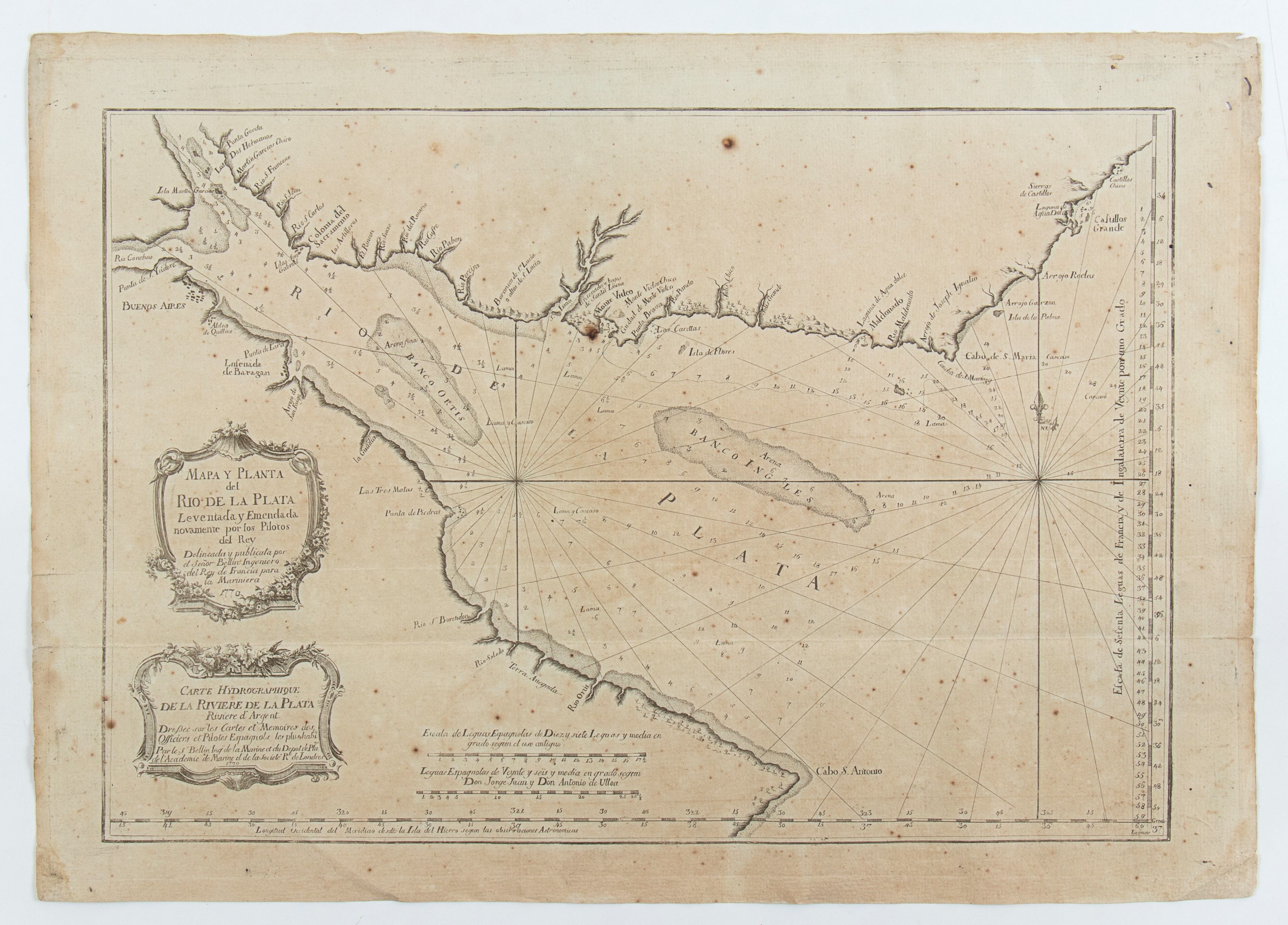
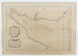
531
Mapa y Planta del Rio de la Plata Leventada y Emendada novamente por los Pilotos del Rey . . . Carte Hydrographique de la Riviere de la Plata, Paris 1770
Map depicting the mouth of the Rio de la Plata between Argentina and Uruguay.
Etching and engraving, 445 x 625 mm. Printed on heavy laid paper, uniformly browned sheet, with signs of foxing and traces of folds.
Provenance: Vecchia Marina, Rome.
Live auction 316
Old and Modern Prints, Drawings and Maps
Palazzo Caetani Lovatelli, thu 14 November 2024
SINGLE SESSION 14/11/2024 Hours 12:00